 Lýsigagnagátt
Nature and protection
Type of resources
Available actions
Topics
INSPIRE themes
Keywords
Contact for the resource
Provided by
Years
Formats
Representation types
Update frequencies
status
Scale
-

Upplýsingar um gönguleiðir á friðslýstum svæðum. Fyrir frekari upplýsingar um gögnin er bent á að hafa samband við Umhverfisstofnun.
-

Gögnin sýna eldri mörk veiðisvæða á Íslandi. Vinsamlegast hafið sambandi við Umhverfisstofnun fyrir nánari upplýsingar.
-

Gögnin sýna mörk veiðisvæða. Fyrir nánari upplýsingar um gögnin er bent á að hafa samband við Umhverfisstofnun.
-
Vinsamlega hafið samband við Umhverfisstofnun vegna nánari upplýsinga.
-
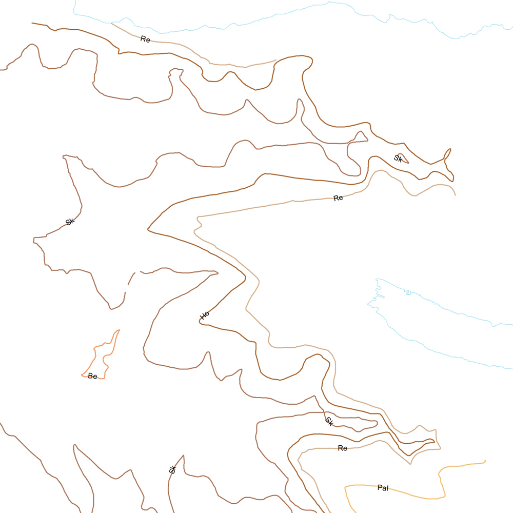
Þekja (layer) j100v_austurland_millilog_1utg_li:: Gjóskulög á Austfjörðum. [Tuff layers in Eastern Iceland.] Línur sýna staðsetningu stærstu gjóskulagana á Austfjörðum. Gjóskulögin eru fengin úr ýmsum kortum og kortlagningu Birgis V. Óskarssonar. Gögn eru flokkuð eftir ÍST120:2012 staðlinum, nema þrjá fitjueigindir: myndunKodi = Heiti myndunarinnar (skammstöfun) myndunIS = Heiti myndunarinnar (á íslenskuc) myndunEN = Heiti myndunarinnart (á ensku) [Lines show the location of largest tuff deposits in Eastern Iceland. The tuff layers are derived from older maps and the mapping of Birgir V. Óskarsson. The data follows the ÍST120:2012 data standard with the three additional feature attributes: myndunKodi = Lithostratigraphic unit (abbreviation) myndunIS = Lithostratigraphic unit (in Icelandic) myndunEN = Lithostratigraphic unit (in English)]
-

Umhverfisstofnun skal halda skrá yfir svæði þar sem er mengaður jarðvegur eða þar sem grunur er um mengun. Þar skulu koma fram upplýsingar um staðsetningu, stærð, tegund mengunar og ástæðu þess að svæði er mengað eða grunum leikur á mengun.
-

Náttúruminjaskrá er listi yfir öll friðlýst svæði á Íslandi og mörg önnur merkileg svæði sem hafa ekki enn verið friðlýst. Umhverfisstofnun skal í samráði við Náttúrufræðistofnun Íslands og hlutaðeigandi náttúrustofur og náttúruverndarnefndir sjá um undirbúning og öflun gagna vegna viðbóta við náttúruminjaskrá og heildarútgáfu hennar. Nýjasta náttúruminjaskrá er frá árinu 1996 og er skrá yfir náttúruminjar sem ástæða þykir til að friða. Afmörkun svæðanna eru birt með fyrivörum um ónákvæmni og villur en þær voru árið 2006. Orðalag náttúruminjaskrár gildir.
-
Þekja (layer) j100v_austurland_gigar_1utg_fl: Flákar sem sýna gjallgíga í jarðlagastafla Austurlands. [Polygon data of scoria cones in Eastern Iceland.}
-
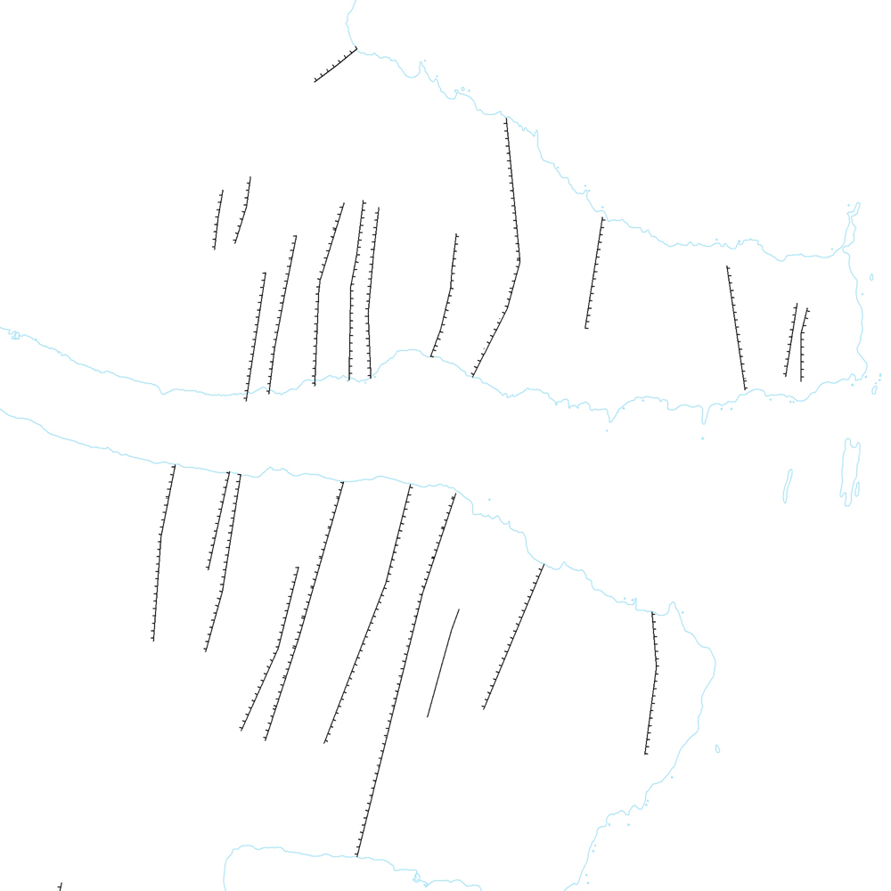
Þekja (layer) j100v_austurland_hoggun_1utg_li: Sprungur og misgengi. [Cracks and faults.] Gögn með sprungum og misgengjum kortlögð í ýmsum kortlagningaverkefnum. [Data showing cracks and faults mapped in various mapping projects.]
-
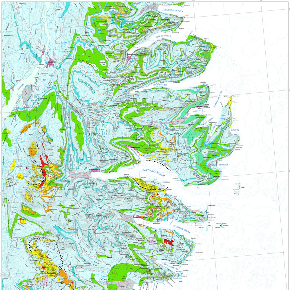
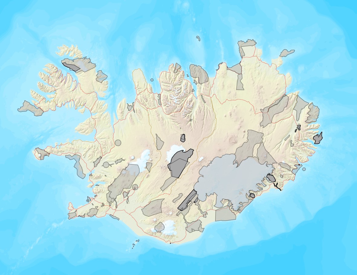
Gagnasafn (GDB) NI_J100v_Austurland_1.utg: Jarðfræðikort af Austurlandi í mælikvarði 1:100.000, 1. útg. [Geological map of Eastern Iceland in the scale of 1:100.000, 1st ed.] Jarðfræðikort af Austurlandi nær yfir svæði frá Berufirði yfir í Mjóafjörð. Berggrunnur er flokkaður eftir gerð og samsetningu. Kortið sýnir túff (gjóskulög), gíga, öskjurima, sprungur, misgengi, strik og halla, framhlaup, steingervinga, lindir og mörk segulskeiðsins C5n. [The Geological map of Eastern Iceland covers the area from Berufjörður up to Mjóifjörður. Bedrock is classified by type and composition. The map shows tuff layers, craters, caldera rims, fissures, faults, strike and dip, landslides, fossils, springs and the base of magnetic chron C5n.]